Digital Delivery
Holovision
Wholly own subsidiary of Watkins Steel
Holovision consists of a diversified team with expertise in:
- Engineering – Civil, Mechatronic, Robotics & AI
- Surveying – Civil, Infrastructure, Mining
- Architecture
- Industrial Design
- Steel Detailing & Fabrication
- Project Management
Holovisions experience in design and construct enables them to deliver data rapidly and contribute through the whole project lifecycle (project through to operations)
Our Capabilities
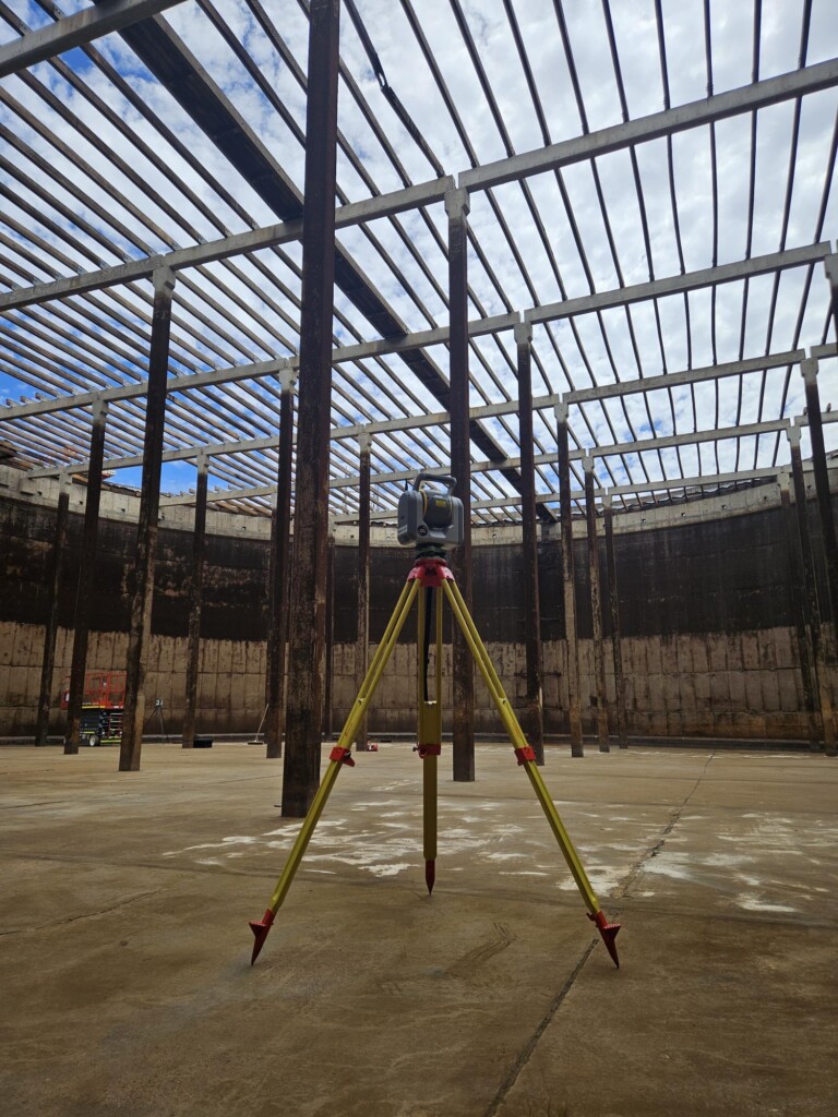
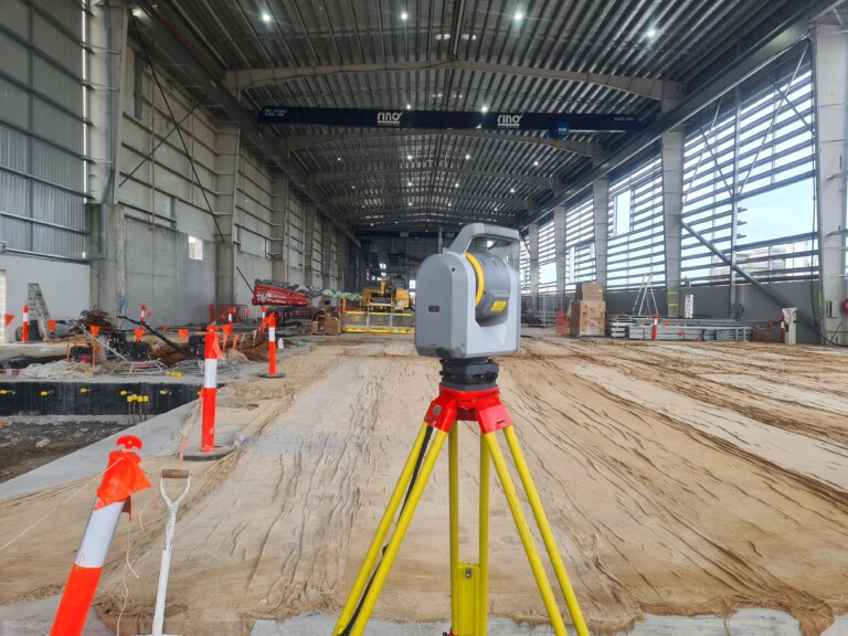
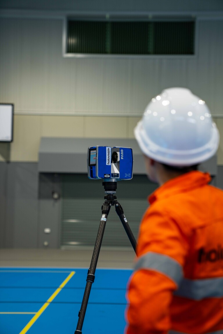
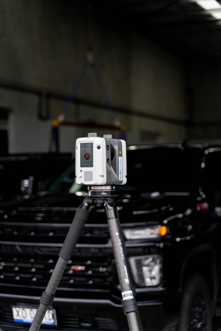
Laser Scanning
Laser Scanning Applications: Embrace 3D Laser Scanning for precise data retrieval from any site. Capturing detailed 3D information, it offers a safe and cost-effective solution for large-scale, congested, or hostile environments. Applications include as-built conditions, asset inspection, Scan to BIM, engineering assessments, terrain mapping, and more.
Benefits:
- Real-World Status of Any Object
- Fast & Effective
- Detailed & Accurate – Down to the Millimeter!
- Construction Risk & Costs Reduced
- Remote Surveying Where Direct Access is Not Possible
Deliverables:
- Digital As-Built
- 3D Point Cloud
- Measurements
- Conventional Plans
- Elevations & Sections
- Fly-Through Movies
- BIM in 3D or 4D
- Rendered Models
- Animations for Progress Regimes
Traditional Site Measure
(tape measures, digital measuring devices, robotic total stations etc.)
- Can be inaccurate
- Easily misinterpreted
- Time-consuming
Laser Scanning:
- Range: up to 600m
- Accuracy: +/- 3mm
- Image: 36Mp – combined 432Mp
- Time: Optimum 2-6 minutes
- Data: 1-2 million p/s
- Laser: Class 1
Equipment:
- Trimble
- Leica
- Faro
- AutoMAP
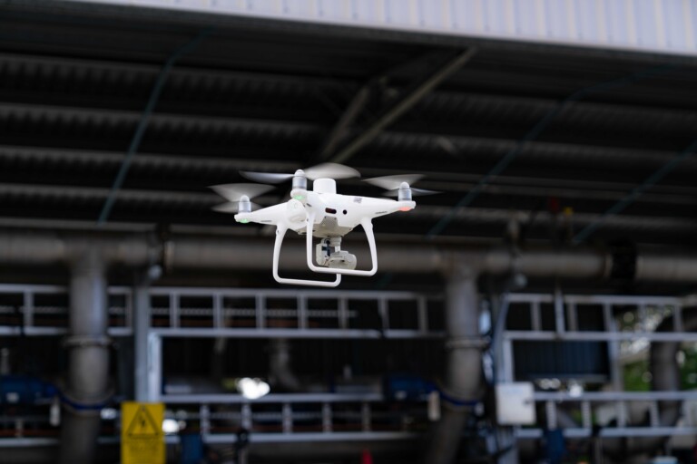
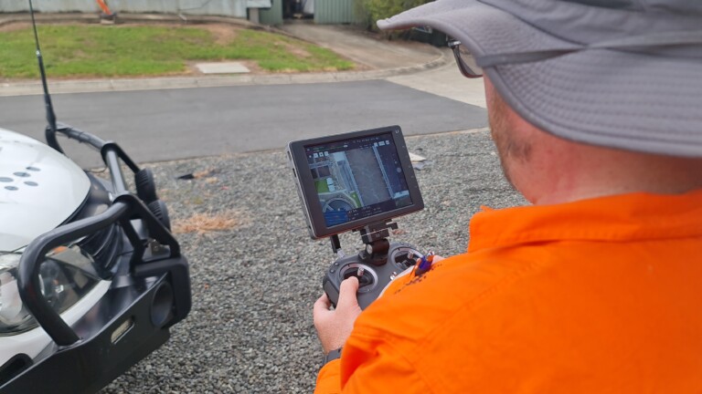
Drone Supporting Large Scan Areas
Experience Aerial Mapping, Survey, and Remote Asset Inspections with our advanced drone technology. Our drones capture 3D point clouds and mesh models for precise terrain analysis, contour heights, slopes, volumes, and vegetation changes. Ideal for large and hard-to-reach areas, our aerial surveying ensures data accuracy for risk management, infrastructure inspections, and construction concept design.
Benefits:
- Effective Risk Management
- High Accuracy
- Speedy Data Capture
- Survey of Inaccessible Locations
Capabilities:
- Aerial survey/mapping
- Terrain mapping
- Environmental & Corridor mapping
- Remote asset inspections
- Condition assessments
- Stockpile volume calculations
- 3D reality mesh models
- Georeferenced Orthomosaics
- Video & Photography
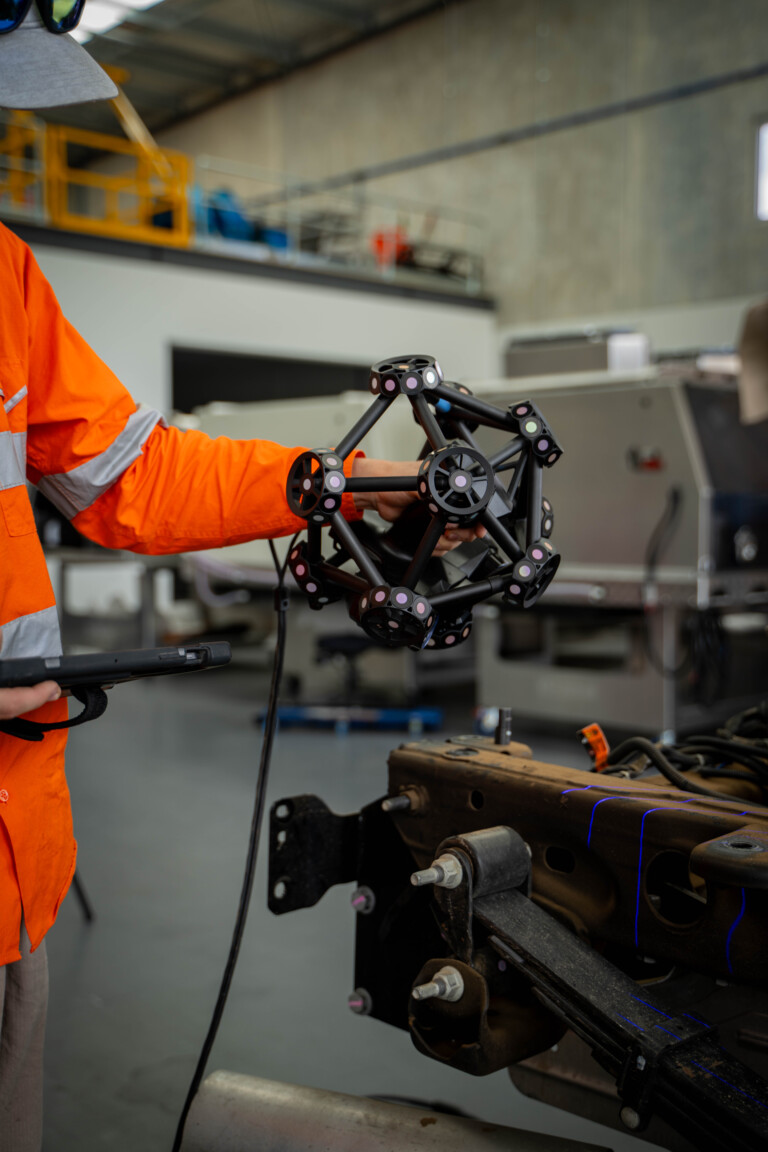
3D Metrology
What is Metrology Scanning? Explore the world of 3D Metrology Scanning, capturing and digitizing physical attributes with precision. Our scanners offer dimensional accuracy up to 0.035mm, ensuring shorter prototyping cycles, improved fitment, and enhanced aesthetics during design processes. Whether for quality control, inspection, or reverse-engineering, our metrology solutions provide unparalleled accuracy.
How Does It Work? Utilizing laser or structured light, our scanners capture millions of measurements per second, reconstructing 3D information digitally. Structured light scanners are ideal for detailed measurements, while terrestrial laser scanners excel in larger areas without compromising data quality.
Benefits:
- Shorter Prototyping Cycles
- Improved Fitment & Tolerances
- Quality Control & Inspection
- Conformance during Manufacture
- Reverse-Engineering of OEM Parts
Key Deliverables:
- Sub-millimeter Accurate Surface Mesh
- Scan to CAD Parametric Model
- Tolerance/Heat Map Comparisons
- Deviation Analysis
- Scan to CAD Deviation Analysis
Key Deliverables:
- Manufacturing
- Architecture, Engineering & Construction (AEC)
- Mining
- Oil & Gas
- Automotive, Marine & Aerospace
- Medical & Healthcare
- Agriculture
- Warehousing/Mass Storage
- Art/Explorative Design
- Theatre, Film, TV & Gaming

Digital Survey Set Out
Using the Total Station minimises human error on site due to:
- Accuracies – mm tolerance
- Reduced time on site
- Risk management & project control
- Ability to set out intricate jobs with precision
- Pinpoint locations exported from the TEKLA model environment – Digital Workflow